

This is a guest post by David McCormack, part 2 of a 3 part series. This was part 1.
Recently I had the opportunity to take the Winnipeg to Churchill line on VIA. This is part 2 of 3, focusing on railfanning this line.
When I was there, my intent was to follow the train from Winnipeg to as far north as possible. As expected, the further north you go, the more difficult it gets.
Subdivisions
This section details my experience of photographing this line.
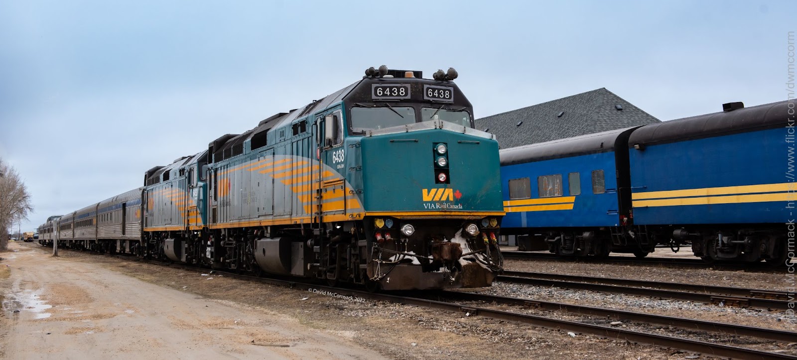
CN River Sub (Winnipeg – Portage La Prairie)
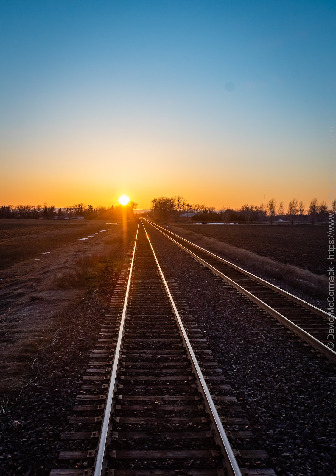
I completely skipped this section as the train runs very fast along this section of line (once it gets cleared), so I elected to skip it. I think that you may be able to get one shot in a North chase, but I would doubt that more than that would be possible.
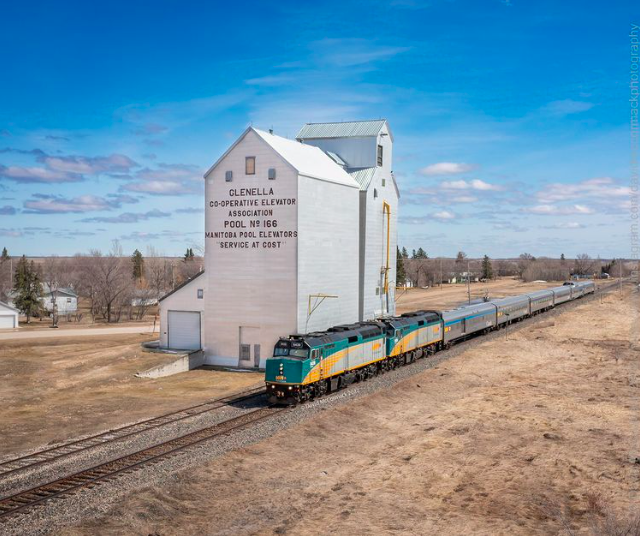
CN Gladstone Sub (Portage La Prairie – Dauphin)
This section of track the train travels at a more moderate speed, allowing for you to follow it. Unfortunately it doesn’t run parallel to a single highway, so you’ll need to plan out the route. In this section, I’d recommend Glenella for the grain elevator and the station in Dauphin.
At Laurier, I ended up making a bad assumption about a road state (highway 480), and losing quite a bit of time. Thankfully I was able to catch back up to it again in Dauphin.
CN Togo Sub (Dauphin – Canora)
This is the easiest section of the line as there are many sections that parallel the highway between (Gilbert Plains – Grandview) and (Kamsack – Canora). It also crosses many other farm roads that you can probably catch it at a few as well.

CN Assiniboine Sub (Canora – Hudson Bay)
There are many places where the line parallels roads and other accessible locations, but this is challenging due to lack of natural light (in both directions) most of the year, unless the train is running very late.
CN Turnberry Sub (Hudson Bay – The Pas)
This is also a night running section (both directions). There are a few accessible locations north of Hudson Bay as well as a section paralleling roads between Westray – The Pas. With the current schedules, this is impossible to photograph in daylight without the train running very late.
If you are in Hudson Bay and going to The Pas, you have two options. The first is Highway 9 or Highway 3/77 and Highway 10. After talking with locals, Highway 9 is all gravel and typically in bad shape, so I elected for 3/77 & 10 instead.
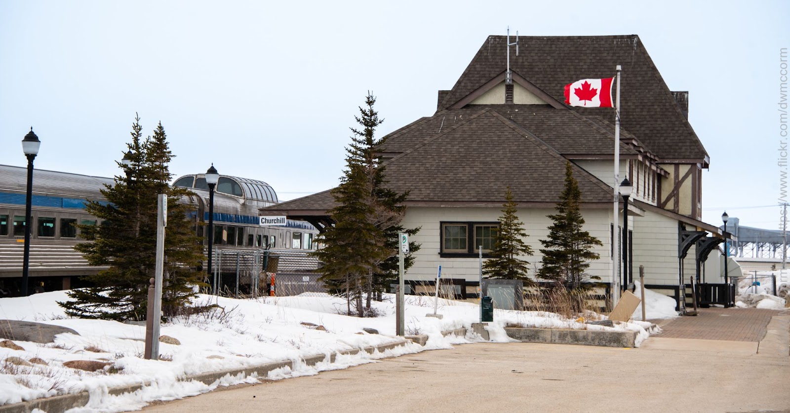
The Pas
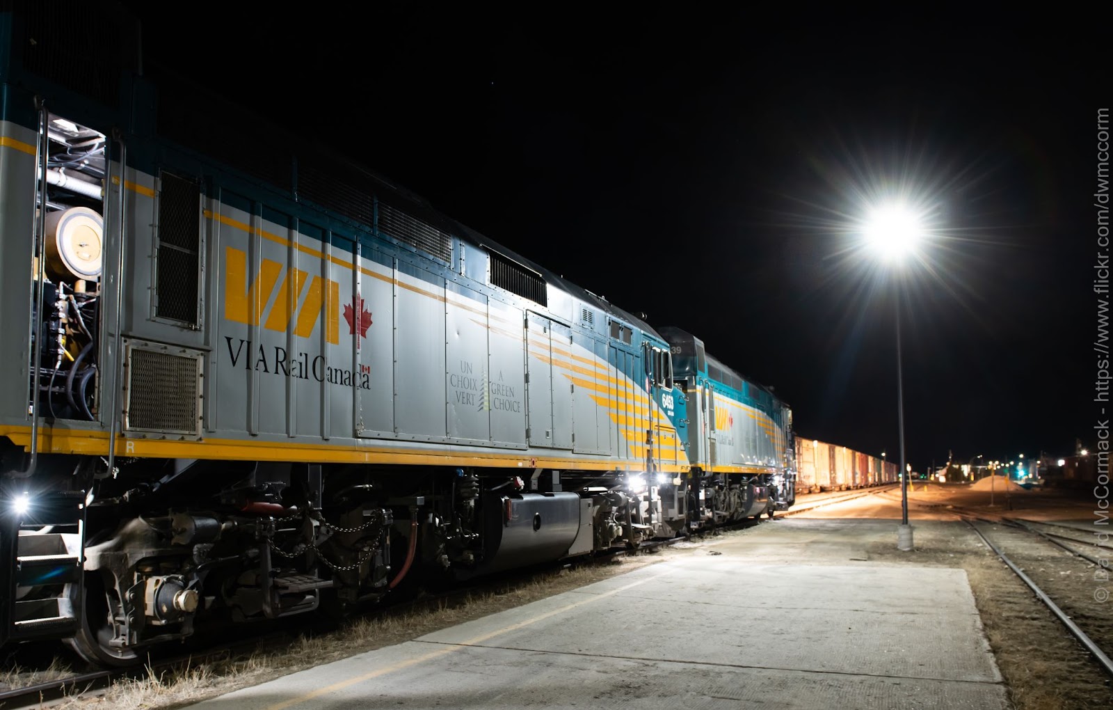
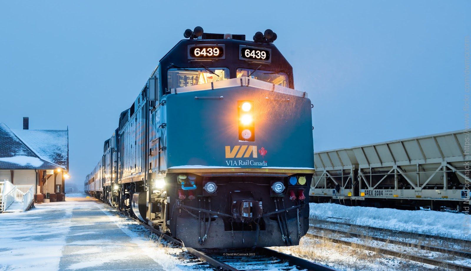
The Pas has a decent amount of rail activity for a community of its size. There are three railroads serving this community, CN (south), HBRY (north), and Keewatin (north west). If you are interested in catching VIA during daylight hours, the only way is on Thursday when it overnights there (arriving Wednesday at 23:30 and departing Friday at 02:30).
The Keewatin Mixed train departs at 11:15am, with the station activity starting to pick up around 10:00am. This morning, which is likely typical, there was also a HBRY freight train heading out to serve some industry north of town.
The line north passes over the Saskatchewan River. I wanted to take a photo of the train crossing over, but I couldn’t make the sight lines at the bridge work . Instead I decided to just shoot the underpass before the bridge instead.
HBRY Wekusko Sub (The Pas – Waboden)
Now we are starting to get into the more challenging areas to shoot. Prior to heading out, I did Google Maps research to look for photography options. The section of Ponton, MB to Wabowden, MB looked to be the only areas with accessible possibilities.
The tracks are further back from the road than I thought from Google Maps, and most of the alignment will require a small amount of bushwhacking to get to the tracks. The distance through the bush would make it difficult to keep up with the train as it passes through this section. There are only a few crossings on this section, so you probably can get a few shots off in a chase, but I wouldn’t count on more than 3 or 4.
The day I had scheduled to shoot here, the weather was horrible. There was probably about 7 cm of fresh snow on these infrequently traveled roads that day. Combine that with a small rental car without snow tires, and I could only safely travel around 50km/h max. I set up to take photos of VIA on that section an hour or two early before it was to arrive, but then the freezing rain started. Given the amount of troubles I had with the car in the snow on the way up there, I decided to call it off and head back without taking any photos.
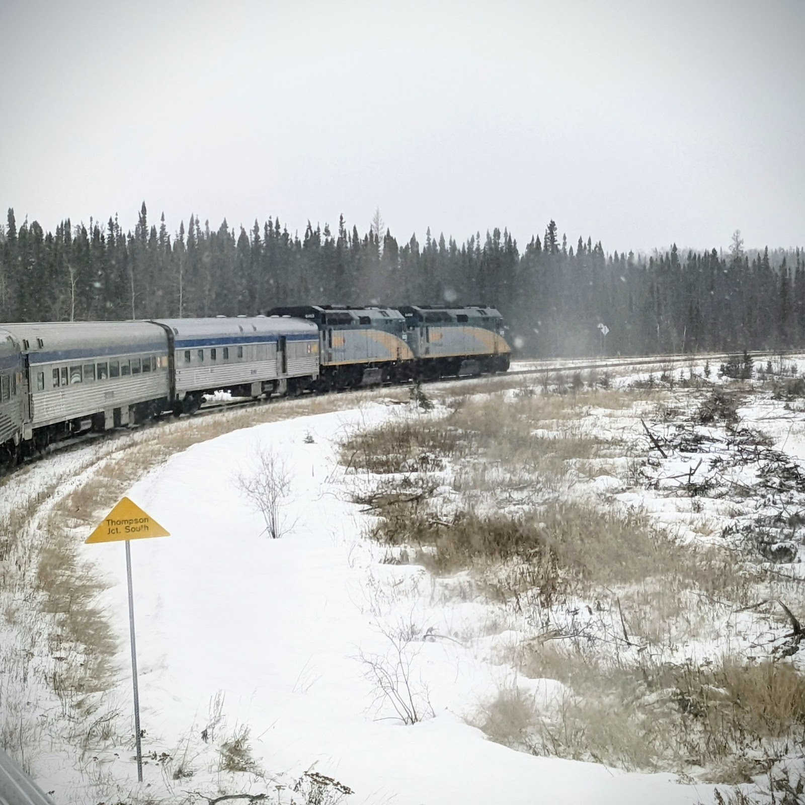
HBRY Thomspon Sub (Thompson Junction – Thompson)
The only photography options I saw on this were around the Thompson station. There appeared to be a few road crossings outside of Thompson, but when I drove towards them, they appeared to be private roads for resource companies.
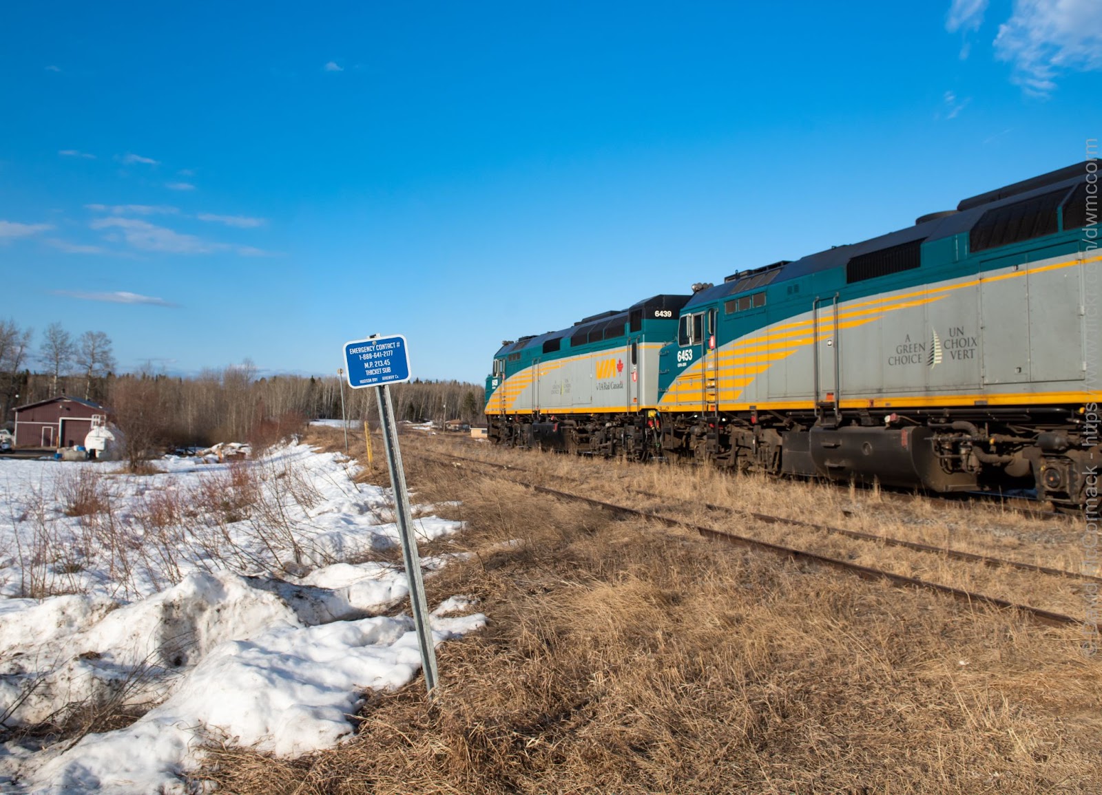
HBRY Thicket Sub (Waboden – Gilliam)
The road from Thompson to Gilliam is an award winning road, but not the not the kind of award you want to win. It won worst road in Manitoba, and given the state of the roads in that province, that is quite an accomplishment. I did not venture on this road up to Gilliam. The accessible photography options are in Gilliam, and given my limited time, it didn’t seem like I could shoot there in this trip.
HBRY Herchmer Sub (Gilliam – Churchill)
This section has the fewest photographic locations of them all. There are only a few places with road access between Gilliam and Bird, but after Bird there is no road access until Churchill. If you are planning on photographing the VIA train, it is important to note that VIA is usually through the Gilliam to Bird section in darkness both ways.
When I was in Churchill there were no trains there other than the VIA train. The port wasn’t in operation (due to ice) and the fuel depot had a few cars, but no locomotives.
Tips
Incase you are considering this, here are a few tips to help you out.
Long Day Light
The latitude of this this line is kinda north’ish. For that reason, I suggest trying to go between May – July to maximize your daylight hours and shooting opportunities.
Full Tank of Gas and Food
Much of this line is rather remote and has few services. It is a good idea to plan your fuel stops (or drive around with a full tank) and to have some food with you.
What an adventurous spirit to this post. This is Canadian railfanning at its extreme.
Indeed! It makes me want to do the same thing!
This is truly an exceptional posting. I have ridden the line five times in my lifetime and I find it the most rewarding of any train trip in North America. You never know what to expect or see.
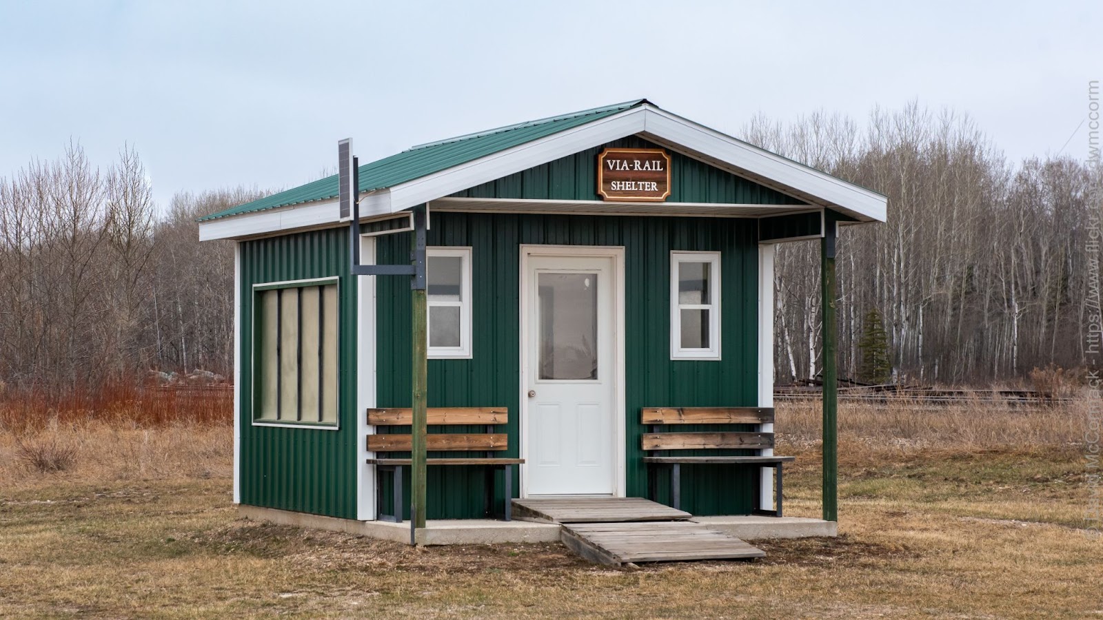
I was really impressed with the VIA Rail Shelter picture in Hudson Bay. Going north and also south I was always there in the darkness and never saw the actual shelter that they have there for passengers.
Let’s hope this service survives forever. It is sorely needed by residents there.
Thanks again, this is a masterpiece that you can be proud of. Rarely is any attention given to this route. This will be a hard post to do better on.